


Excursion tips
a bit more daily destinations, but definitely worth a trip
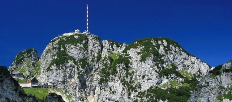
Wendelsteinbahn
Route planner (click on address)
Wendelsteinbahn
Sudelfeldstraße 106
83098 Brannenburg
Abbildung
https://www.wendelsteinbahn.de/uebernachtenregion / CC BY-SA (https://creativecommons.org/licenses/by-sa/3.0)
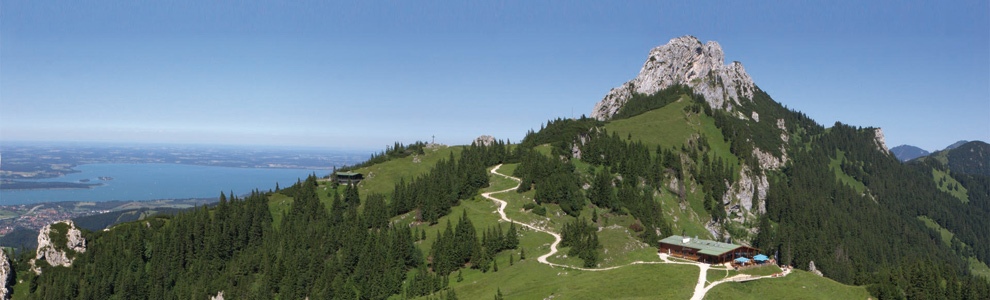
Kampenwandseilbahn
Routenplaner (Adresse anklicken)
Kampenwandseilbahn GmbH
An der Bergbahn 8
83229 Aschau im Chiemgau
Abbildung
https://www.kampenwand.de/ / CC BY-SA (https://creativecommons.org/licenses/by-sa/3.0)
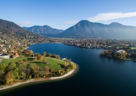
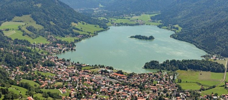
Tegernsee
Routenplaner (Adresse anklicken)
Tegernsee
Seestraße 9
83684 Tegernsee
Abbildung
https://www.bayern.by/urlaub-fuer-alle/a-handbike-tour-rundweg-um-den-tegernsee / CC BY-SA (https://creativecommons.org/licenses/by-sa/3.0) / CC BY-SA (https://creativecommons.org/licenses/by-sa/3.0)
Markus Wasmeier - Freilichtmuseum
Routenplaner (Adresse anklicken)
Markus Wasmeier Freilichtmuseum
Brunnbichl 5
83727 Schliersee/Neuhaus
Abbildung
https://www.wasmeier.de/ / CC BY-SA (https://creativecommons.org/licenses/by-sa/3.0) / CC BY-SA (https://creativecommons.org/licenses/by-sa/3.0)
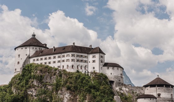
Festung Kufstein
Routenplaner (Adresse anklicken)
Festung Kufstein
Festung 2
6330 Kufstein
Abbildung
https://www.almenrausch.at/touren/suchergebnisse/tourdetails/tour/festung-kufstein4422.html / CC BY-SA (https://creativecommons.org/licenses/by-sa/3.0)
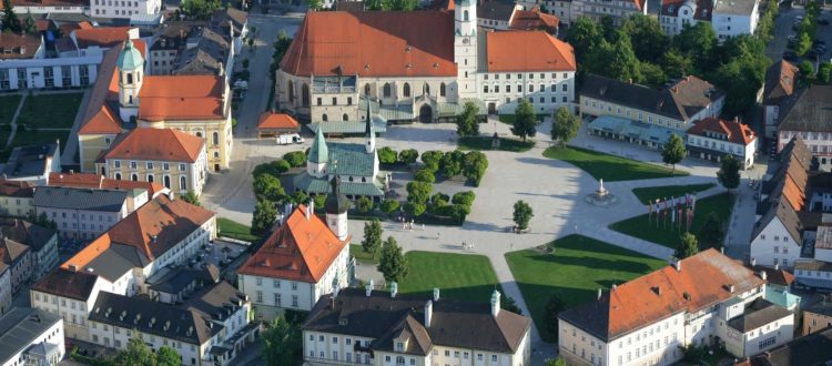
Altötting - Das Herz Bayerns
Wallfahrts- und Verkehrsbüro Altötting
Kapellplatz 2a
84503 Altötting
Abbildung
https://www.altoetting.de/ / CC BY-SA (https://creativecommons.org/licenses/by-sa/3.0)
Schliersee
Routenplaner (Adresse anklicken)
Schliersee
Perfallstraße 4b
83727 Schliersee
Abbildung
https://www.google.com/search?q=schliersee&source=lnms&tbm=isch&sa=X&ved=2ahUKEwiqjPy78-_qAhXO2aQKHZRICCYQ_AUoAnoECBkQBA&biw=1920&bih=910#imgrc=z_D7FgryNQQKEM / CC BY-SA (https://creativecommons.org/licenses/by-sa/3.0) / CC BY-SA (https://creativecommons.org/licenses/by-sa/3.0)